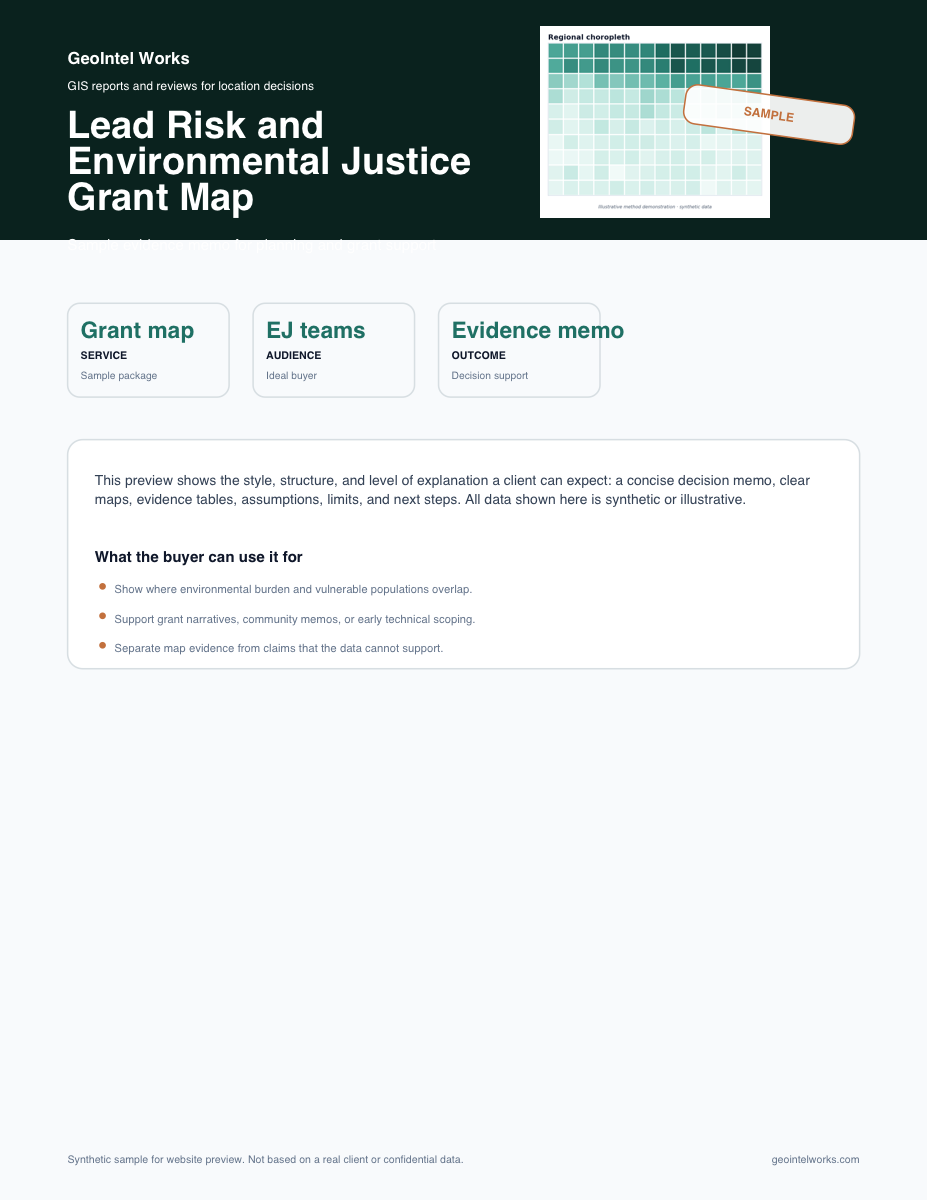
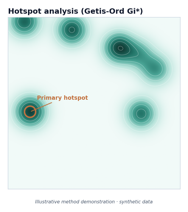
Spatial hotspot analysis map

GIS reports for business and planning decisions

Make better location decisions before money is on the line.

Choosing a site, explaining risk, or defending a map-based claim can get expensive when the data is unclear. GeoIntel Works turns addresses, maps, public data, and existing reports into plain-language PDF memos with maps, source notes, risks, and recommended next steps.

  • 20+ years of spatial data science
  • Plain-language reports with source notes
  • Direct expert work with Dr. Danlin Yu

A weak site can lock in real cost

Rent, buildout, staffing, financing, and expansion costs often come before the risk is obvious. A short site memo helps you compare the location before you commit.

Maps need a business explanation

A map is useful only when someone explains what it means, what it leaves out, and how it should affect the decision.

Reports need evidence people can trust

Grant maps, risk memos, and model-backed claims are stronger when the sources, limits, and assumptions are written clearly.

Free fit check

Before you pay, find out if the project is a good fit.

Send the business question, location, timeline, and any files you already have. I will tell you whether I can help, what a practical first scope would look like, and what the next paid step would cost.

Booking opens in Google Calendar. Appointment times are intended for New York / Eastern Time.

Typical response: 24-48 hours.

For complex or high-risk projects, the next step may be a separately quoted scoping session before a full report.

Ask a pre-sales question

Use this for fit, data readiness, timeline, or whether a quick scan or custom memo makes sense.

Request a 15-minute fit call

Best when you need to explain business context before a written quote.

Receive a written quote

After scope is clear, you receive deliverables, timeline, payment terms, and an invoice or payment link.

What the free fit check includes

  • A quick read on whether the project fits GeoIntel Works
  • Suggested service path and likely starting budget
  • What data, addresses, or files are needed before paid work starts
  • No maps, analysis, or report deliverable before scope and payment are agreed

Starting prices

Start with a clear scope and price range.

Most clients begin with one of these practical scopes. Final pricing depends on the study area, available data, number of sites, and how much explanation the decision needs.

No payment is requested until the deliverable, timeline, data request, and fixed price are confirmed in writing.

Pre-Lease Location Screen

from $495

One candidate address before signing a lease, starting buildout, or discussing a franchise

  • 4-6 page PDF memo
  • Competitor, access, and neighborhood context
  • Field-check list and clear limitations

Best for small business owners who already have a real address in front of them

Small Business Site Comparison

$950-$1,500

Two or three candidate storefronts, clinics, restaurants, or service locations

  • Site scorecard and ranking
  • Map-backed evidence table
  • Recommendation for the next lease or visit decision

Best when partners, lenders, or family investors need a clear comparison

Decision Map Memo

from $1,800

Grant, planning, environmental, market, or multi-site decisions

  • Clear map series with source notes
  • Assumptions and limitations
  • Recommendation and next steps

Best when a map needs to support a written argument

Expert Review

from $1,800

Spatial models, GIS workflows, and map-backed claims

  • Method and interpretation review
  • Prioritized risk list
  • Annotated report or expert memo

Best before client delivery, grant submission, or publication

Common search paths

Find the right location report for your business type.

These focused pages explain how the same GIS decision process applies to restaurants, retail, franchise, dental, clinic, salon, gas station, convenience, and grant-mapping projects.

Restaurant location analysis

Restaurant Site Selection Consultant

Map-backed restaurant site selection reports for owners comparing storefronts, trade areas, competition, access, and lease risk before opening or expanding.

View page

Retail site decisions

Retail Location Analysis for Small Business

Retail location analysis reports for boutiques, local stores, service businesses, and small chains comparing customer access, competition, and neighborhood context.

View page

Franchise site review

Franchise Location Analysis

Franchise location analysis for operators and advisors comparing candidate sites, territory context, access, competition, and local demand before lease decisions.

View page

Dental and clinic site review

Dental Practice Location Analysis

Dental practice location analysis for startup, acquisition, and expansion decisions using maps, competition context, access review, and patient-area signals.

View page

Salon and beauty business sites

Salon and Spa Location Analysis

Salon, spa, and beauty business location analysis for owners comparing storefronts, nearby competitors, customer access, parking, and local demand.

View page

Clinic and healthcare sites

Medical Clinic Location Analysis

Location analysis for urgent care, physical therapy, wellness, and outpatient clinics comparing patient access, nearby providers, parking, visibility, and growth risk.

View page

Gas station and roadside sites

Gas Station and Convenience Site Analysis

Gas station and convenience site analysis for buyers, operators, and advisors reviewing access, traffic context, nearby competition, visibility, and local risk before acquisition or lease decisions.

View page

Small grocery and convenience sites

Convenience Store and Small Grocery Location Analysis

Convenience store and small grocery location analysis for owners comparing neighborhood demand, access, competitors, nearby anchors, and practical site risks.

View page

Grant and planning maps

Environmental Justice Grant Mapping

Environmental justice and lead-risk grant mapping support for nonprofits, consultants, and local teams that need clear maps, source notes, and defensible risk explanations.

View page

Preview the work

See what you would actually receive.

The sample PDFs show the format of a real client deliverable: maps, plain-language interpretation, data sources, limitations, recommendation, and practical next steps.

Decision examples

The work is built around real decisions, not abstract maps.

These common project scenarios show how GeoIntel Works turns a location question into a focused report a client, partner, funder, or decision-maker can discuss.

01

Site selection

A restaurant operator is choosing between three storefronts

The lease numbers look workable, but the owner needs a practical view of demand signals, competitors, access, and hidden location risk before signing.

Decision pressure
A weak location can lock in rent, buildout, and staffing costs before the business has enough evidence to recover.
What gets reviewed
Candidate addresses, business type, target customer, known competitors, broker materials, street access, and relevant public datasets.
What you receive
A short PDF memo with a site ranking, map-backed evidence, key risks, field-check questions, and a proceed / watch / avoid recommendation.
Business value
The owner can compare options with partners or lenders using a clear decision memo instead of relying only on instinct or a broker packet.

02

Risk mapping

A grant or planning team needs a defensible risk map

The team has public indicators, but the map needs to explain where risk is concentrated, what the data can support, and what still needs local verification.

Decision pressure
A grant narrative or planning memo is weaker when the map looks polished but the sources, assumptions, and limitations are not clear.
What gets reviewed
Study area, grant or planning goal, public risk indicators, existing PDFs or maps, and the audience that needs to trust the result.
What you receive
A map memo with priority areas, source notes, plain-language interpretation, limits, and recommended checks before the map is used externally.
Business value
The team gets a stronger technical appendix and a clearer explanation for funders, reviewers, partners, or community meetings.

03

Expert review

A consultant wants a second opinion before sending a map-backed report

The draft report is visually polished, but the spatial method, scale assumptions, and wording of the claims need to stand up to questions.

Decision pressure
If a client, reviewer, or funder asks how the conclusion was reached, weak methods or overconfident wording can damage trust.
What gets reviewed
Draft report, maps, model notes, data sources, code or workflow notes, main claim, and known reviewer concerns.
What you receive
An expert review memo with method risks, interpretation fixes, wording suggestions, and a prioritized action list.
Business value
The team can revise before delivery and walk into the client or reviewer conversation with a more defensible spatial argument.

Project details are simplified to show typical decision patterns, inputs, and deliverables. A paid engagement is scoped in writing before analysis begins.

Direct expert delivery

You work directly with Dr. Danlin Yu, not a handoff chain.

DY

Dr. Danlin Yu

Professor of GIS and spatial data scientist

GeoIntel Works is built around direct senior delivery: the same professor-level expert scopes the question, builds or reviews the spatial work, and writes the interpretation. That makes the deliverable faster to understand and easier to defend.

  • Professor of GIS and spatial data scientist
  • 20+ years across geography, spatial econometrics, public health, urban development, and environmental justice
  • Direct communication, fixed scope, and no anonymous production handoff

Service packages

Focused reports with a clear scope before work starts.

Start with a small, practical engagement. Before any paid work begins, you know the deliverable, price, timeline, and what data I need from you.

ServiceStart here

Pre-Lease Location Screen and Site Selection Report

A practical decision memo for owners comparing a storefront, clinic, restaurant, franchise, or local-service location before signing a lease.

RestaurantsSmall retailClinicsFranchise decision-makers
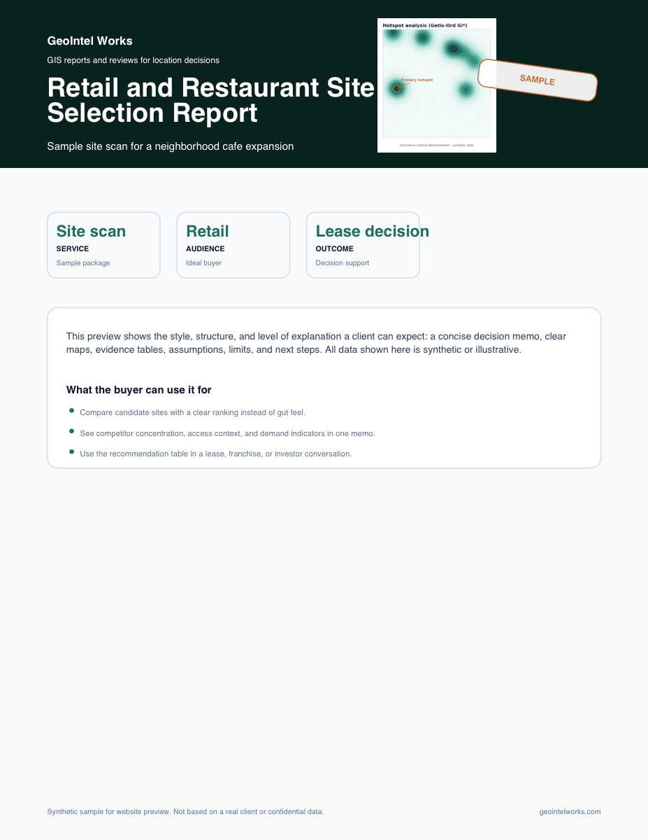
Retail site selection and competitor hotspot analysis
  • Pre-lease risk screen
  • Competitor and access context
  • Small business decision support
Deliverables
4-8 page PDF memo + maps
Turnaround
3-7 business days
You send
Candidate address, business type, target customer, and lease concerns
from $495

Free, no-obligation quote

Request quote
Service

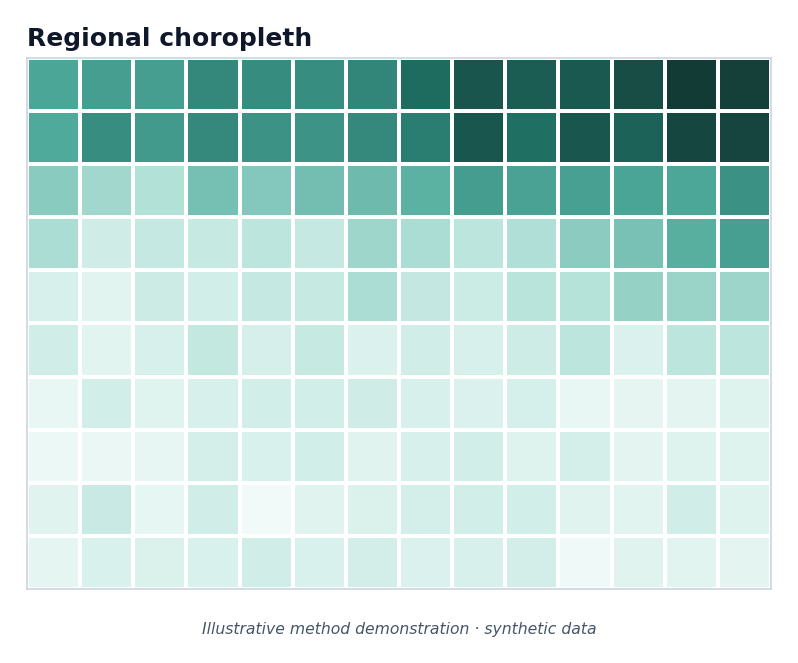
Lead Risk and Environmental Justice Grant Map

A clear map memo that shows where environmental burden, lead-risk context, infrastructure stress, and vulnerable populations may overlap.

ConsultantsNonprofitsLocal teamsGrant support
Environmental risk and demographic mapping example
  • Risk concentration
  • Lead-risk context
  • Grant-ready map memo
Deliverables
Grant-ready evidence memo + maps
Turnaround
1–2 weeks
You send
Study area, decision context, and any known data files
from $1,800

Free, no-obligation quote

Request quote
Service

Spatial Data Workflow Audit

A focused review of how your team collects, organizes, maps, analyzes, and explains location-based data across reports, data files, PDFs, and maps.

Planning teamsResearchersConsultantsData-heavy teams
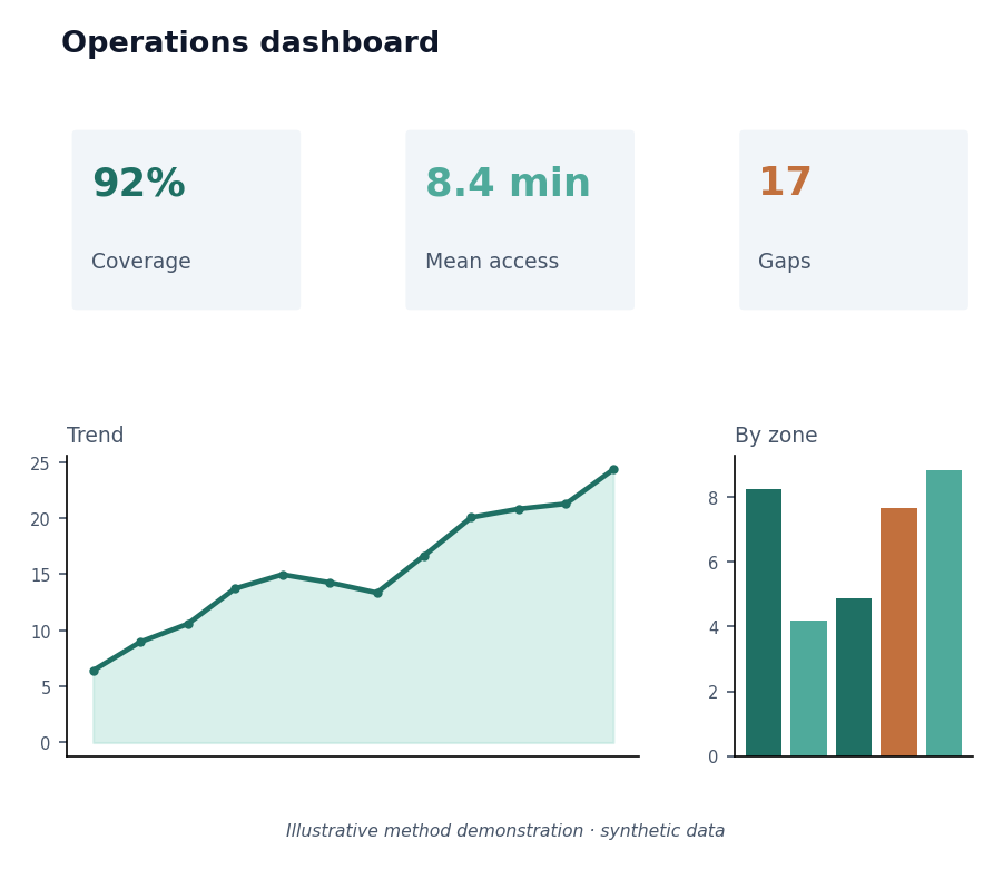
Spatial workflow dashboard example
  • Workflow review
  • Data/source inventory
  • Clear improvement roadmap
Deliverables
Workflow memo + roadmap
Turnaround
1–2 weeks
You send
Current reports, data files, tools, or workflow notes
from $1,800

Free, no-obligation quote

Request quote
Service

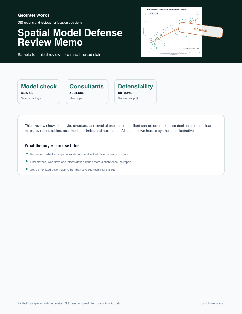
Spatial Model Defense Review

Expert review of maps, spatial statistics, model assumptions, methods, and claims before they appear in a report, proposal, or client deliverable.

Research teamsConsultantsExpert reportsTechnical reviews
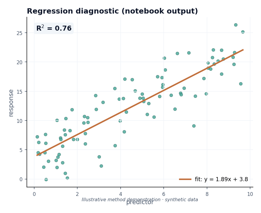
Spatial model review notebook example
  • Model assumptions
  • Map interpretation
  • Method review
Deliverables
Defense memo or annotated report
Turnaround
By scope
You send
Draft report, model notes, maps, or code
from $1,800

Free, no-obligation quote

Request quote

Expert judgment, explained plainly

Clear maps, honest limits, and recommendations your team can act on.

The work can involve GIS, spatial statistics, remote sensing, modeling, or a careful review of existing reports. The outcome is simple: you understand what the location data supports, what it does not support, and what to verify next. Final business, legal, financial, property, and investment decisions remain with the client.

Good-fit projects

  • Compare sites before a lease, purchase, or expansion.
  • Map environmental burden, lead exposure, or infrastructure risk.
  • Turn scattered spatial reports and data files into a repeatable workflow.
  • Review whether a spatial model or map-backed claim is ready to share.

Have a location question with real cost behind it?

Send the address, study area, report, dataset, or business question. I will suggest a practical first step and tell you what the work would cost.